iPACT webinar 2 – Mapping Port City Territories
Hosted by Dr Jasna Mariotti, Queen’s University Belfast
Mapping Port City Territories for Smarter Governance, Planning, and Co-Creation

Prof Carola Hein from TU Delft
Professor of History of Architecture and Urban Planning – Department of Architecture
PortCityFutures Home | PortCityFutures
Abstract:
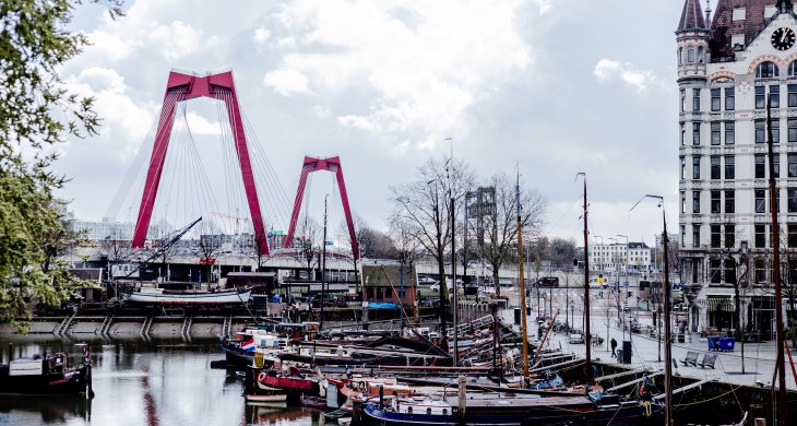
A multitude of port cities dots Europe’s coastline, all serving the purpose of facilitating maritime transportation. Over millennia, public and private leaders have built harbours, urban spaces and infrastructures in diverse territories to serve hinterlands, including landlocked capital cities and metropolitan areas. As nodes on the edge of water and land, port city territories embody knowledge on maritime flows and water conditions. At a time of climate change, they can be paradigms and stewards of sustainable development.
This lecture builds on the comprehensive, mapping based approach of the Port City Atlas to explore the role of port city territories in European futures. The Atlas visualizes 100 port city territories located on four seas and connected through shared waters. It provides a foundation for comparative analysis beyond case study approaches that are often locked into national contexts, select languages or disciplinary approaches. Conceived as a work of reference, the book makes the case for a sea-based approach to the understanding and design of Europe.
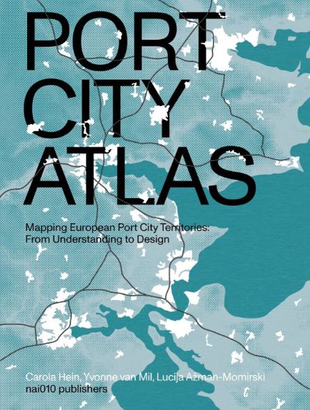
Mapping European Port City Territories: From Understanding to Design
To watch the recording of this webinar on YouTube use this link