iPACT webinar 1 – Geodesign & Environmental Resilience
Geodesign & Environmental Resilience
Dr Paul Cureton, ImaginationLancaster, Lancaster University
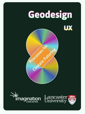
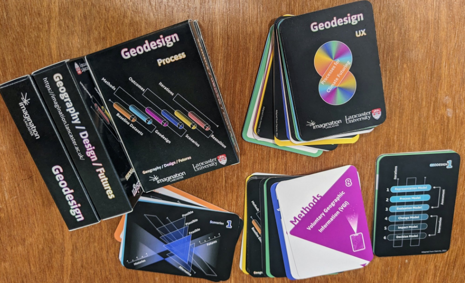
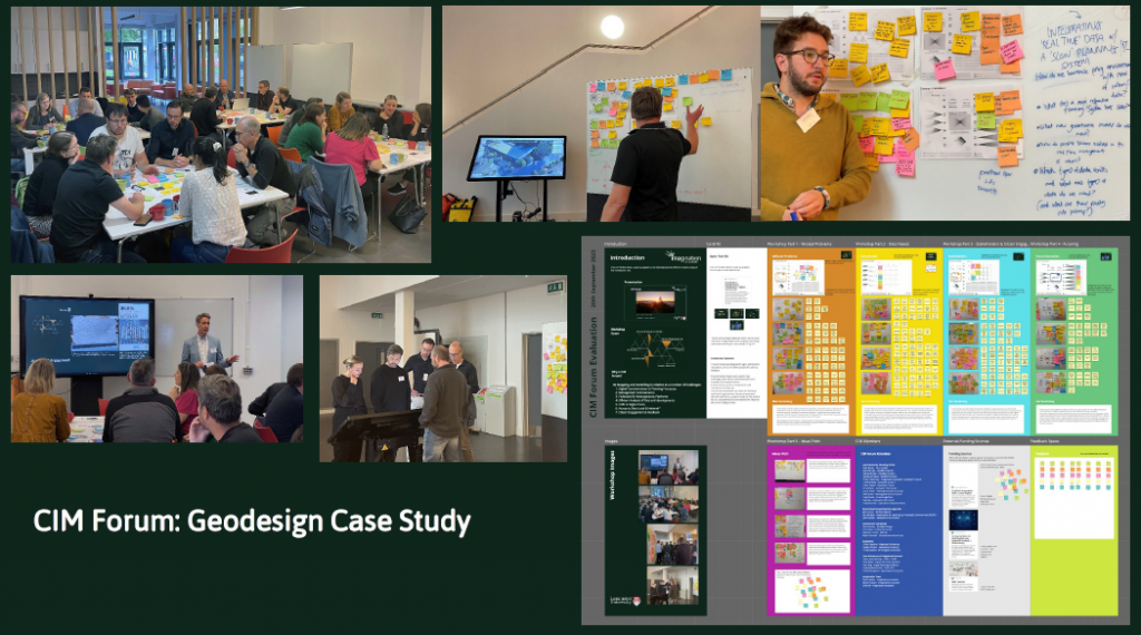
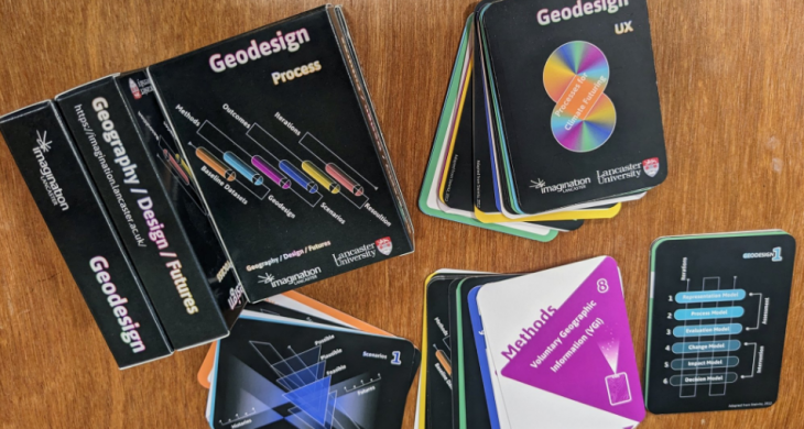
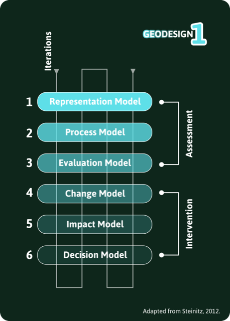
Geodesign is a framework and series of methods developed by Carl Steinitz for collaborative decision-making between built environment professionals and natural sciences using geographic information systems (GIS). The framework has been established for over twenty-five years and is pertinent to contemporary coastal challenges and multidisciplinary work for climate futuring (Hollstein, 2019). This presentation presents a state of the art of Geodesign. It offers a new delivery mechanism for Geodesign using UX cards as a design tool for non-traditional audiences and an applied case study to demonstrate its relevance in complex coastal environments for resilience.
References
Leah M. Hollstein, Retrospective and reconsideration: The first 25 years of the Steinitz framework for landscape architecture education and environmental design, Landscape and Urban Planning, Volume 186, 2019, Pages 56-66. ISSN 0169-2046.
Paul Cureton, Geodesign a Collaborative Framework, July 2023.
Dr Paul Cureton, Lancaster University.

Dr Paul Cureton FRSA is Director of Post-Graduate Research, Lancaster Institute for the Creative Arts. He has just launched a set of resources that take Geodesign into a more participatory direction working with 12 council partners.
Presentation PDF